

Major problems on the roads of Attica – Message from 112 in Attica, Evia, Magnesia, Lesvos, Chios, Achaia, Corfu – Meeting at the Ministry of Civil Protection – The level in Evrotas has risen
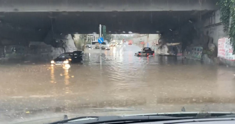
The next few hours are considered critical about the course and especially the consequences of the bad weather wave that is hitting the whole country and some regions with particular severity. In Attica, the bad weather manifests itself with severe storms and heavy rains that result in flooded roads and traffic disruptions in many places. The authorities are making recommendations to restrict movement, while schools will not operate in the afternoon shift, as well as at night. Earlier, cars were trapped under the Spyros Loui bridge, in Maroussi, while a kindergarten was flooded in Kallithea. At the Ministry of Civil Protection a meeting has been called for the assessment of the situation and the coordination of the competent services.
Major problems have been recorded since yesterday in Zakynthos, the Eurota level in Lakonia has risen dangerously, while messages from 112 are being sent by Civil Protection to the areas that are at the center of dangerous weather phenomena. Already, in addition to the residents of Western Greece, the residents of Attica, Evia, Magnesia, Lesvos, Chios, Corfu have received a message, while a new message was sent a while ago to Achaia. The Fire Department is on alert for flooding.
What does the updated EMY weather report predict?
The EMY issued a new, updated emergency bulletin of worsening weather, at a time when bad weather is sweeping the capital and many regions of the country.
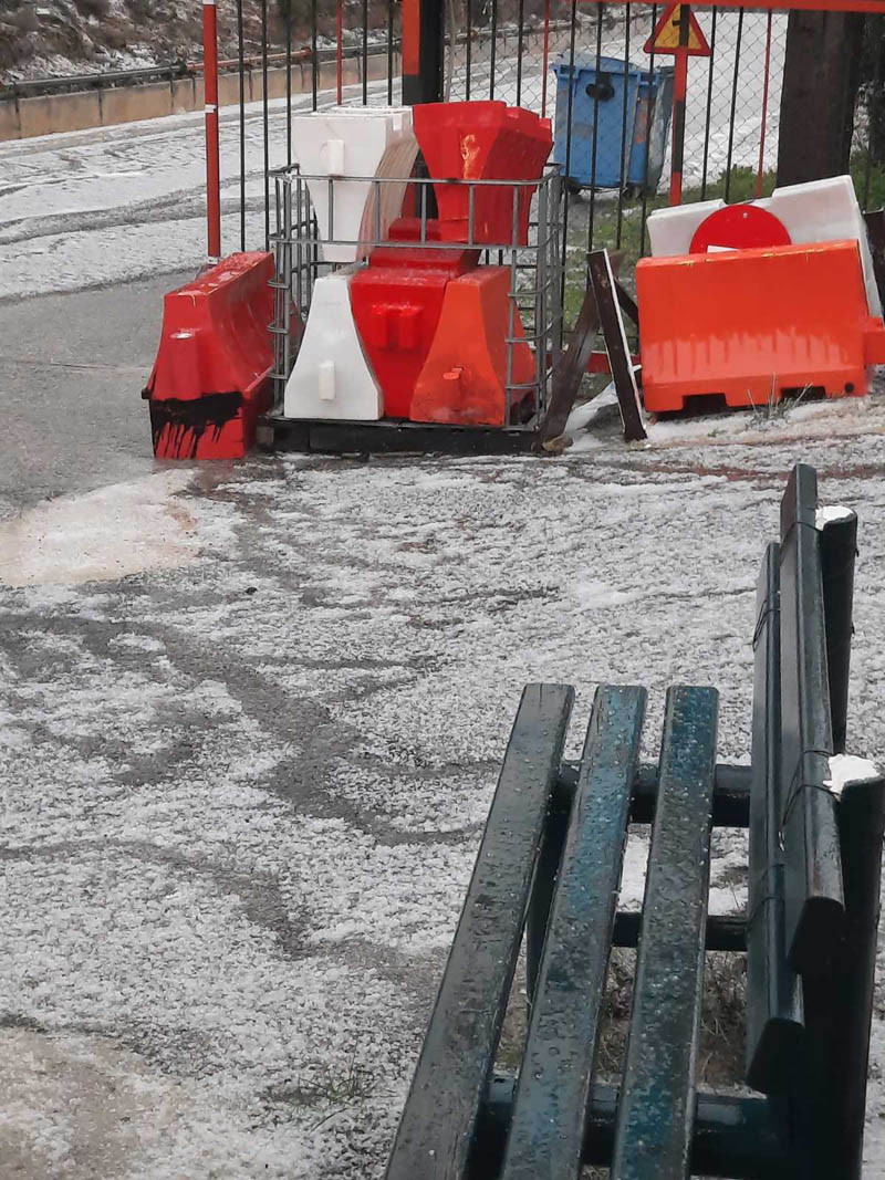
A significant worsening of the weather with locally dangerous phenomena is predicted until tomorrow Friday, with the main characteristics being heavy rains and storms, local hailstorms and heavy snowfalls in the continental highlands and semi-mountains as well as in areas in the north with a relatively lower altitude.
Heavy rains and storms are forecast for today:
– until noon in the southernmost islands of the Ionian and the western Peloponnese
– in the eastern Peloponnese, central and eastern Sterea (including Attica), Evia, Thessaly and the Sporades with weakening from the afternoon in central Sterea and Thessaly and from the evening hours in the rest of the areas
– from midday in the Cyclades and in central and eastern Macedonia, with weakening in the evening hours initially in central and gradually in eastern Macedonia
– from late afternoon in Thrace and the islands of the northern Aegean
– from the evening in the eastern Aegean islands and at night in the Dodecanese.
Snowfalls will be noted in the continental highlands and semi-mountains and locally in areas in the north with a relatively lower altitude which will be dense in places:
– in western Macedonia and Epirus (with an indicative altitude of 500-600 meters and above)
– in Thessaly (with an indicative altitude of 600-700 meters and above)
– in the western and central Sterea (with an indicative altitude of 800-900 meters and above)
– from noon in central and eastern Macedonia and Thrace (indicative altitude of 500-600 meters and above).
The southerly winds in the Aegean will gradually strengthen to 8 and locally to 9 Beaufort.
Tomorrow Friday, heavy rain and storms are foreseen until the early hours of the morning in Thrace, the islands of the northern Aegean and the eastern Cyclades, until the morning hours in the islands of the eastern Aegean and until noon in the Dodecanese.
Snowfalls will be noted in the continental mountainous-semi-mountainous areas, which will be dense in places in Thrace until the early hours of the morning (indicative altitude of 500-600 meters and above). Southerly winds will locally reach the southeast Aegean at 8 to 9 Beaufort in the morning hours.
Read the News today and get the latest news.
Follow Skai.gr on Google News and be the first to know all the news.
I have worked as a journalist for over 10 years, and my work has been featured on many different news websites. I am also an author, and my work has been published in several books. I specialize in opinion writing, and I often write about current events and controversial topics. I am a very well-rounded writer, and I have a lot of experience in different areas of journalism. I am a very hard worker, and I am always willing to put in the extra effort to get the job done.


