

The fire broke out in a forest area high up in the Vayati location of Penteli. The powerful Beaufort winds that blew contributed to the rapid spread and burning of large areas and a “green lung” for Attica
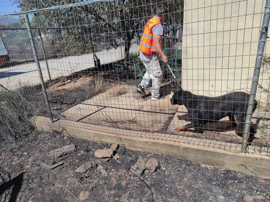
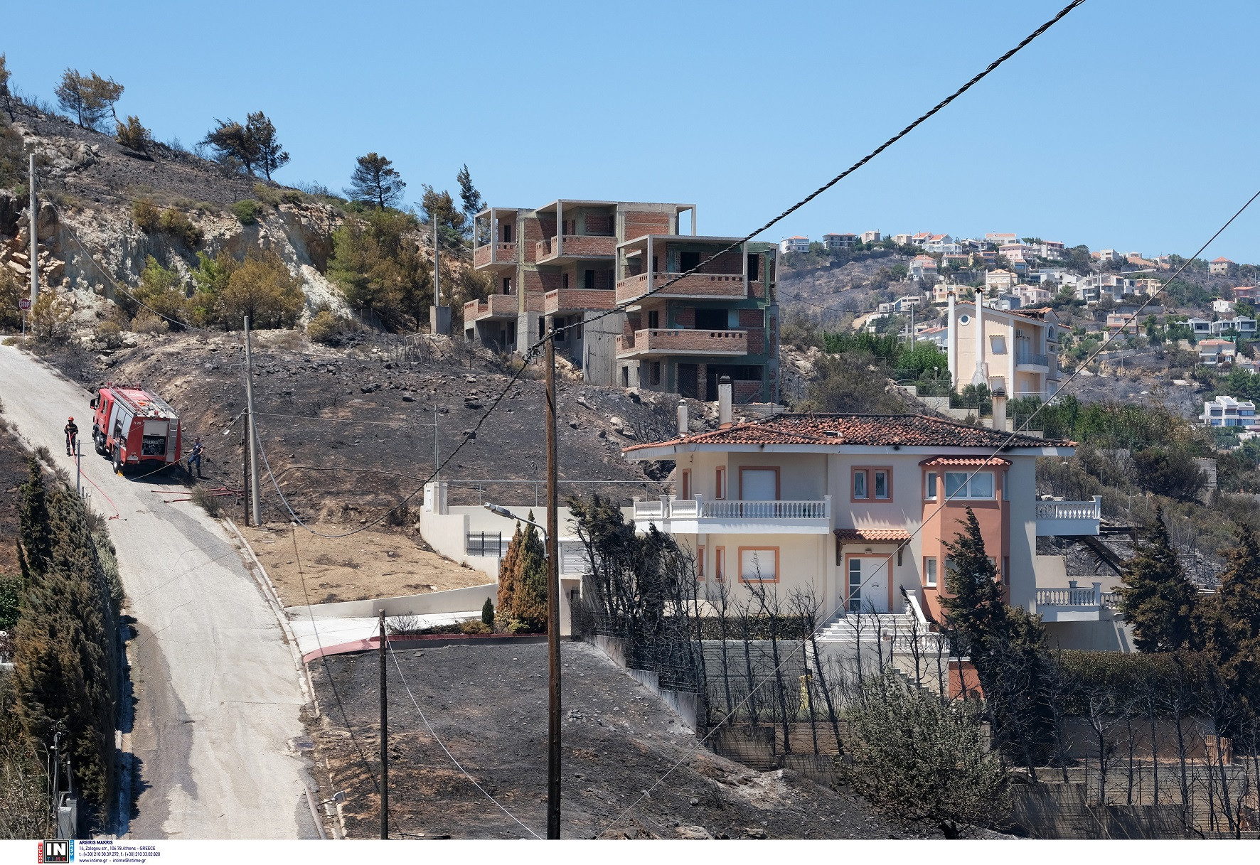
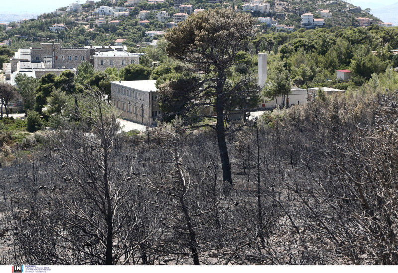
The following day’s photographs of the large fire that broke out yesterday afternoon in Penteli reveal a scene of destruction.
The fire broke out in a forest area high up in Vayati location on two fronts, starting north of Anthousa.
It moved towards the mountainous mass of Penteli and the strong Beaufort winds that blew in the area contributed to its rapid spread and to the burning of large areas and a “green lung” for Attica on the one hand and to causing significant material disasters on the other.
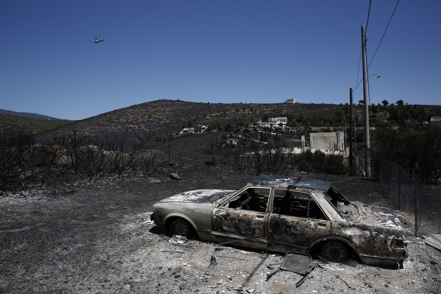
The speed of the winds, as recorded in the area, according to the fire department, even reached its maximum values, far exceeding 80 km per hour.
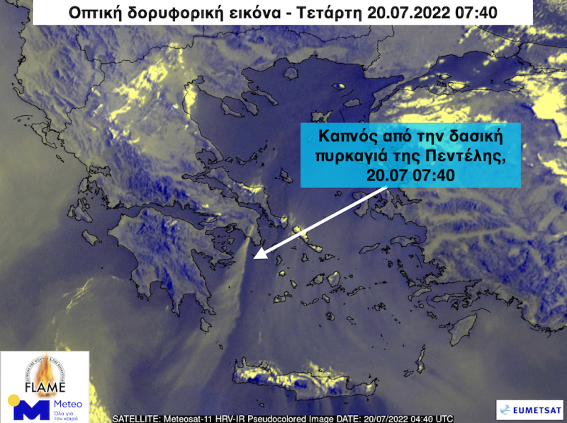
Optical satellite image of meteo.gr from the European satellite METEOSAT-11, shows the smoke of the Penteli forest fire to have been carried by strong north-northeasterly winds at least 400 kilometers south-southwest towards the sea of Kythira and the Southwest Cretan Sea on the morning of Wednesday 20.07.2022 07:40.
From the records of the automatic meteorological station of the EAA / meteo.gr in Pallini, it appears that the temperature rose sharply by 15 degrees Celsius when the front of the fire was approaching the area.
In particular, the temperature between 04:40 and 05:10 (20.07.2022), i.e. within 30 minutes, rose from 23 to 38 degrees Celsius.
View the news feed and get the latest news.
I have worked in the news industry for over 10 years. I have a vast amount of experience in covering health news. I am also an author at News Bulletin 247. I am highly experienced and knowledgeable in this field. I am a hard worker and always deliver quality work. I am a reliable source of information and always provide accurate information.


