

Angelos Syrigos and Triantafyllos Karatrantos explain to why the submission of the map of the Greek continental shelf is of strategic importance
Stefanos Nikolaidis
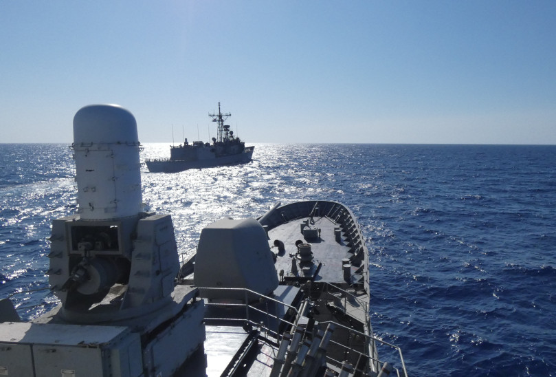
For decades, the Greece responded to foreign research vessels entering areas Greek continental shelf with a paradox: ‘We will not tell you the boundaries, but you are in Greek area” This is changing.
For the first time, Greek positions are reflected on an official European map through Marine Spatial Planning (HSS)of one tool announced in her morning M. Wednesday (16/4) and evolves into strategic weapon of the country.
What is the meaning of this movement? How did we get to this step now? And what is changing, both in diplomatic as well as in geopolitical field; THE Angel SyrigosProfessor of International Law and MP of ND, and RoseDoctor of European Security and Researcher in ELIAMEP, decoding for the skai.gr The critical points of this critical national initiative.
A imprinting that has been late but counts
For the first time, Greece proceeded to formal map deposit that captures the boundaries her Greek continental shelf and dominance zones and sovereign rights at sea. The map is based on the Law 4001/2011 and concerns so much territorial waters as well as the continental shelf areas and potentially Exclusive Economic Zone (EEZ).
THE Maritime Spatial Planning (HSS) had to has already been completed by the 2021according to Directive 2014/89/EU. Greece has delayed significantly, something that Angel Syrigos attributes to the complexity of the project. ‘It is about it about 480,000 square kilometers – four land Greece – and they were involved Too many ministries. It’s not simple. “
Until now, Greece has stated that certain areas are part of the Greek continental shelf, but had not submitted an official map. As Mr Syrigos typically says:
“TheWhen foreign research ships were entering, we were telling them that they had to ask for permission, but we didn’t show them what the limits were. Now, for the first time, they know where the limits are and to whom to address“

European recognition of Greek positions?
OR Deposit of the MSS in the EU makes the relevant map official European documentthis, according to Mr Syrigos, works reinforcing: ‘Provides a legal and diplomatic paper in Greece. Is great advantage. We always ask to have European cover“
If there is a challenge – such as possible entry of Ouch Rey In an area covered by the map – Greece now has the institutional basis to call for a European reaction: “We will say that it is an area of Greek sovereign rights and, according to the map, we ask the EU to impose measures on Turkey.”
On his side the Rose He points out that this is how “the Greek -Turkish difference”is Europeanized»To some extent, after the Greek claims”incorporated into European documents and design boxes“
‘The submission of the map crystallizes the Standing Greek positions for the shelf and EEZ and creates a deterrent and political tool across Turkish unilateral claims“
At the same time, he adds, the map also acts as an internal organization tool. “It institutes a national framework by which energy, environmental and other policies at sea can be designed.”

From mapping to marine design
Current imprinting does not yet determine exactly where activities will be developed, such as Research on energy resources or installation of marine infrastructure. This is the second stage that follows. “In each of the four regions recorded, it will be determined where specific actions can be taken,” Mr Syrigos notes.
In terms of offshore wind farmsthese will be installed within Greek territorial watersthat is, up to 6 nautical miles off the shores. However, this proximity is not without problems. “The basic nuisance is the visual. It’s not nice to get to an island and pass through a forest 500-600 wind turbines“, He comments.
It reminds, however boundaries that Greece considers to have the right to claim on the basis of Sea lawbut it does not mean that it has fully enshrined, either because of pending boundaries or because of political choice.
Indicatively, the same applies to Greece’s intention to extend its territorial waters to 12 nautical miles to Aegean and East Mediterranean. The right exists and is reflected in the design, but it has not yet been practiced. As Mr Syrigos says: ‘The possibility for 12 nm. It’s another matter. It’s a matter of ours“
Indirect demarcation of Greece -Cyprus, tombstone in blue homeland
HSS is not officially delimitednor can he do it unilaterally. However, according to Mr. Karatrado, it acts as a tool “de facto delimitation“, After reflecting the Greek perceptions of where the country’s maritime zones extend – and even in an institutional European context.
OR east line of Greek map “clicks»On the Western Cypriot EEZ. Thus covered one critical geopolitical gap attempting to exploit the turquoise.
“In this way, her narrative”Blue”And Artificial delineation of Turkey -Libya They are canceled in practice, ”says Angel Syrigos. At present, the reaction by Anchor It’s mild. It is estimated that Turkey will not reach the point of sending research vessels to the region – at least not immediately. “Scenarios that say they will send ships to the area are extreme,” he notes.
Is associated with the Greek -Cyprus -Israel interconnection
The HSS, as Triantaphyllos Karatrantos points out, may to enhance institutionally her Energy Interconnection of Greece -Cyprus -Israel (Euroasia Interconnector)providing predictability and security. The imprinting of marine zones offers legal arguments for the protection of critical infrastructure from possible interference or disputes.
“It is not an immediate deterrence tool, but it works in support of building a broader strategy of security,” he says.
Concept
-
What is the continental shelf?
It is the submarine territory under the sea and extends beyond the coastline of a state. There the state has sovereign rights for research and exploitation of natural resources (such as oil or gas), but not complete sovereignty, as it has in territorial waters.
- What is the EEZ (exclusive economic zone)?
It is a maritime zone that reaches up to 200 nautical miles from the coast, where a state has exclusive rights to exploit natural resources, fishing, wind energy or sea. They are not the same as territorial waters – other states can sail freely, but they cannot do research or exploitation without permission.
- What are territorial waters?
It is the maritime area of up to 12 nautical miles from the coast, in which the state has full dominance, as if it is the country’s territory. Today, Greece has territorial waters of 6 nautical miles in the Aegean, but has the right to extend them up to 12, in accordance with international law.
- What does marine spatial planning mean?
It is a plan that records where and how specific human activities can be done at sea, such as fishing, energy, tourism or environmental protection. The EU is asking every Member State to draw up such a map.
- What is the Turkolibyan Memorandum?
It is a 2019 agreement between Turkey and Libya, with which they tried to chart maritime borders by bypassing Greece and Cyprus. It is not recognized by the EU, Greece or other states, as it is considered illegal and arbitrary.
Source: Skai
I have worked in the news industry for over 10 years. I have been an author at News Bulletin 247 for the past 2 years. I mostly cover politics news. I am a highly experienced and respected journalist. I have won numerous awards for my work.


